Lidar uses laser pulses to create 3D maps, while SLAM helps devices map their surroundings and track their position in real-time.
Terrestrial LIDAR
Handheld LiDAR
areal LiDAR
Terrestrial LIDAR
Terrestrial LiDAR (Light Detection and Ranging) is a ground-based remote sensing technology used to measure the 3D structure of objects or surfaces. It emits laser pulses and measures the time for them to return, creating precise 3D point clouds of the scanned area.
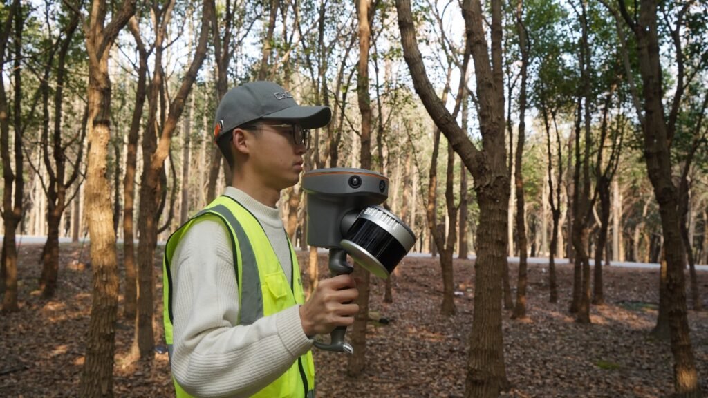
Handheld LiDAR
Handheld LiDAR systems are portable, compact versions of LiDAR technology that allow users to capture 3D spatial data while moving freely through an environment. These systems are designed to be lightweight and easy to operate, making them ideal for applications that require mobility and flexibility in data collection.
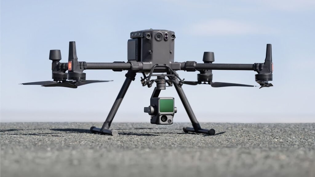
areal LiDAR
Aerial LiDAR refers to LiDAR systems that are mounted on airborne platforms such as aircraft, drones, or helicopters to capture three-dimensional data of the Earth’s surface from the air. This type of LiDAR is used to scan large areas quickly and is ideal for mapping terrain, vegetation, infrastructure, and other large-scale features. It is particularly useful for capturing data in areas that are difficult to access by ground-based methods.
Let’s Talk About How Can Help You Securely Advance