Photogrammetry is the science and technology of obtaining precise measurements, 3D models, and detailed spatial data from photographs. It involves capturing images of an object, structure, or landscape from multiple angles and processing them using specialized software to create accurate representations. Commonly used in industries like architecture, archaeology, surveying, and film, photogrammetry is a versatile tool for mapping, modeling, and analysis.
LIDAR Survey
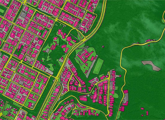
LiDAR Survey (Light Detection and Ranging) is a remote sensing technology that uses laser pulses to measure distances and create high-resolution 3D maps of the Earth’s surface and objects. It involves emitting laser beams from a sensor and calculating the time taken for the light to return after hitting a surface. LiDAR is widely used in fields like topographic mapping, forestry, urban planning, and infrastructure development for its accuracy and ability to capture data even in dense vegetation or challenging terrains.
Let’s Talk About How Can Help You Securely Advance