Welcome to Land CT Services
Leading Geospatial
Technical Institution In Kerala
Welcome to Land CT Services
Leading Geospatial
Technical Institution in Kerala
About Us
Leading geospatial Experts
At Land CT Services, we specialize in providing cutting-edge geospatial technical solutions, empowering industries and individuals with the most accurate land surveying and geospatial data. Located in the vibrant state of Kerala, our institution offers comprehensive training, expert services, and advanced solutions that shape the future of land management.

Course Categories
Explore our courses in geospatial technology, designed to equip you with essential skills and hands-on experience in land management.
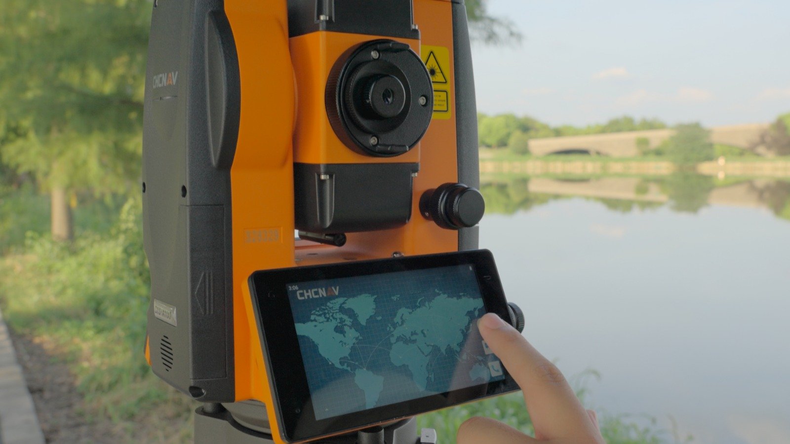
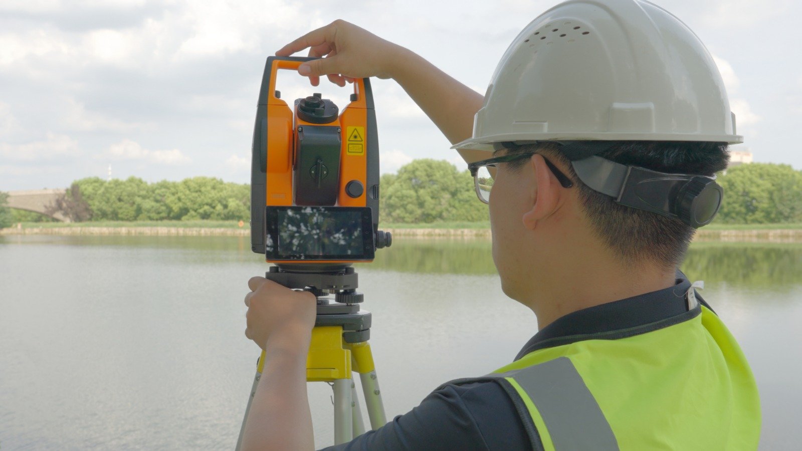
Total Station Surveyor
DGPS Surveyor
GIS Professional
CAD Draftsman
LIDAR Professional
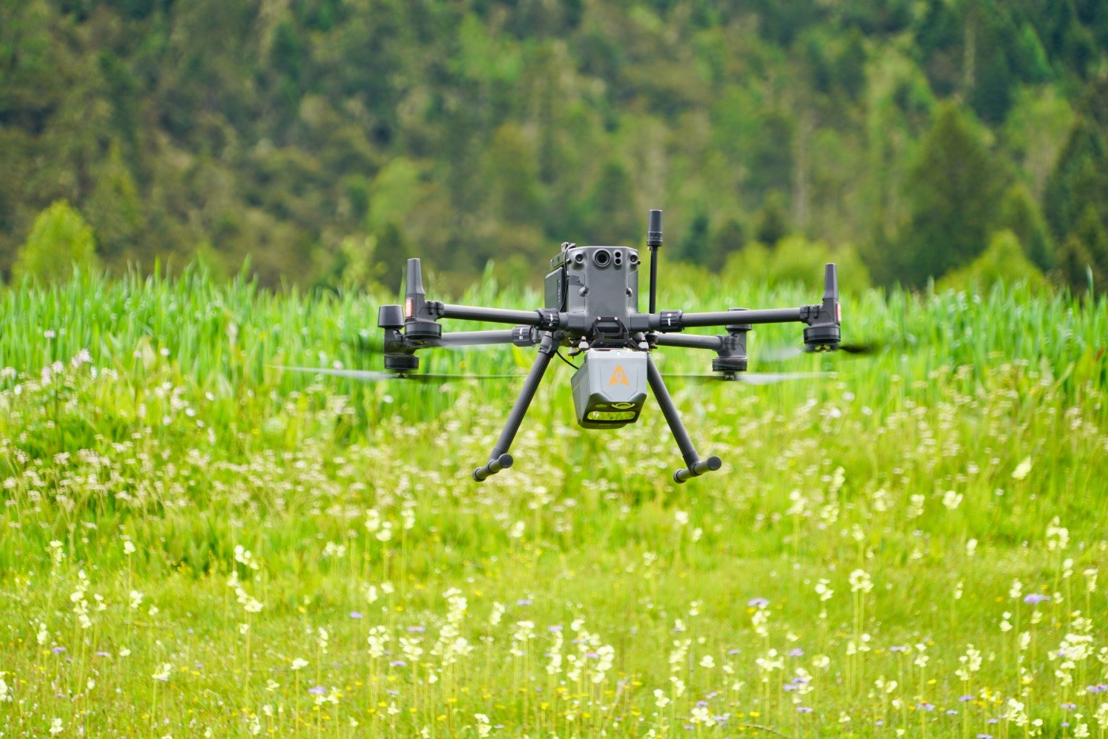
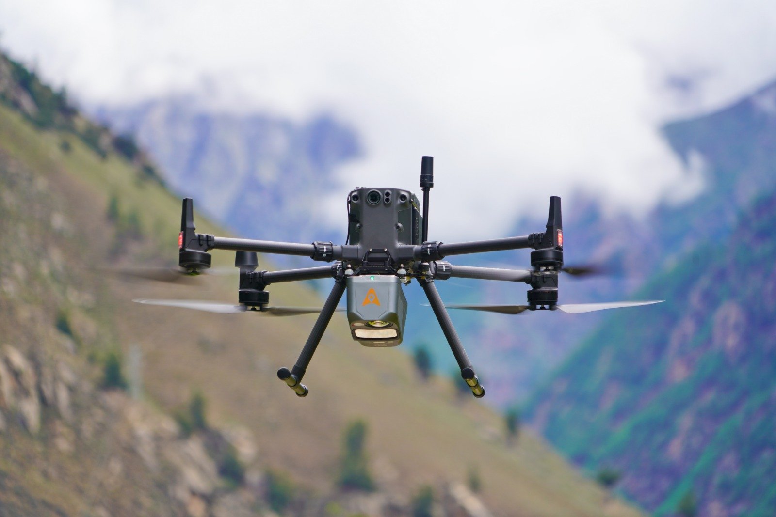
Drone Surveyor
Photogrammetry Professional
Diploma in Civil Draughtsman
Diploma in Land Survey & Documentation
Construction Management
Quantity Surveying & Billing Engineer
Subsurface Utility Professional (GPR Surveyor)
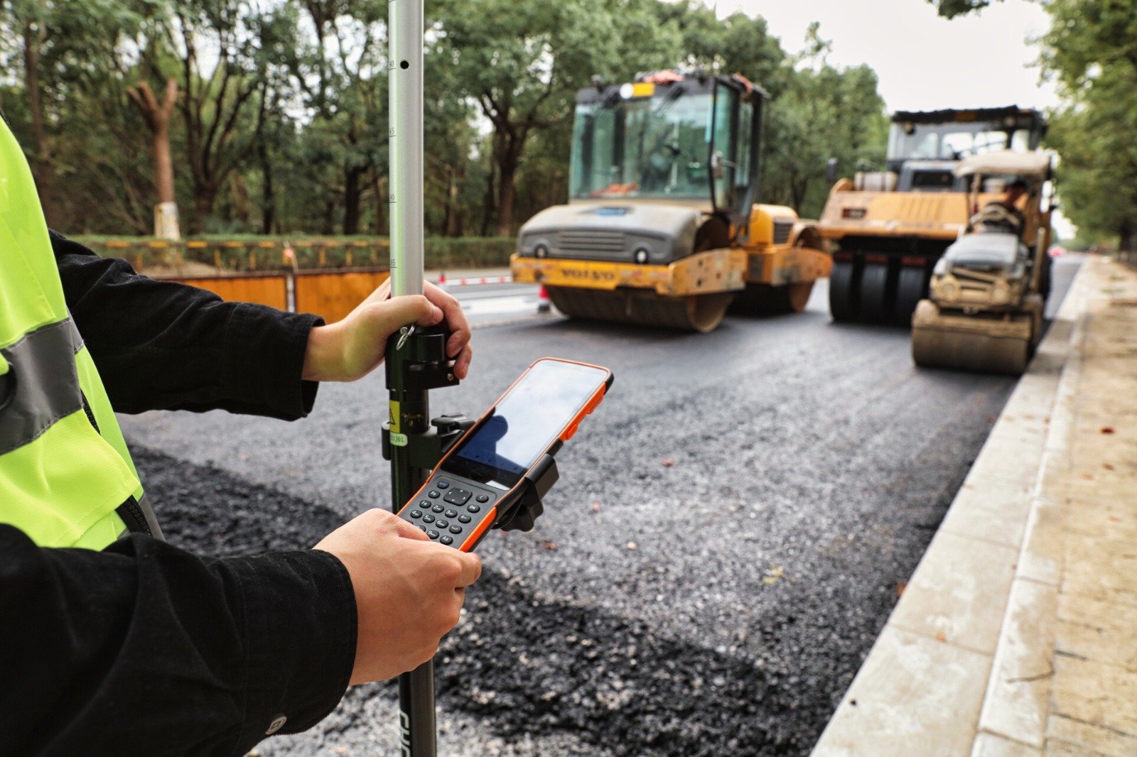
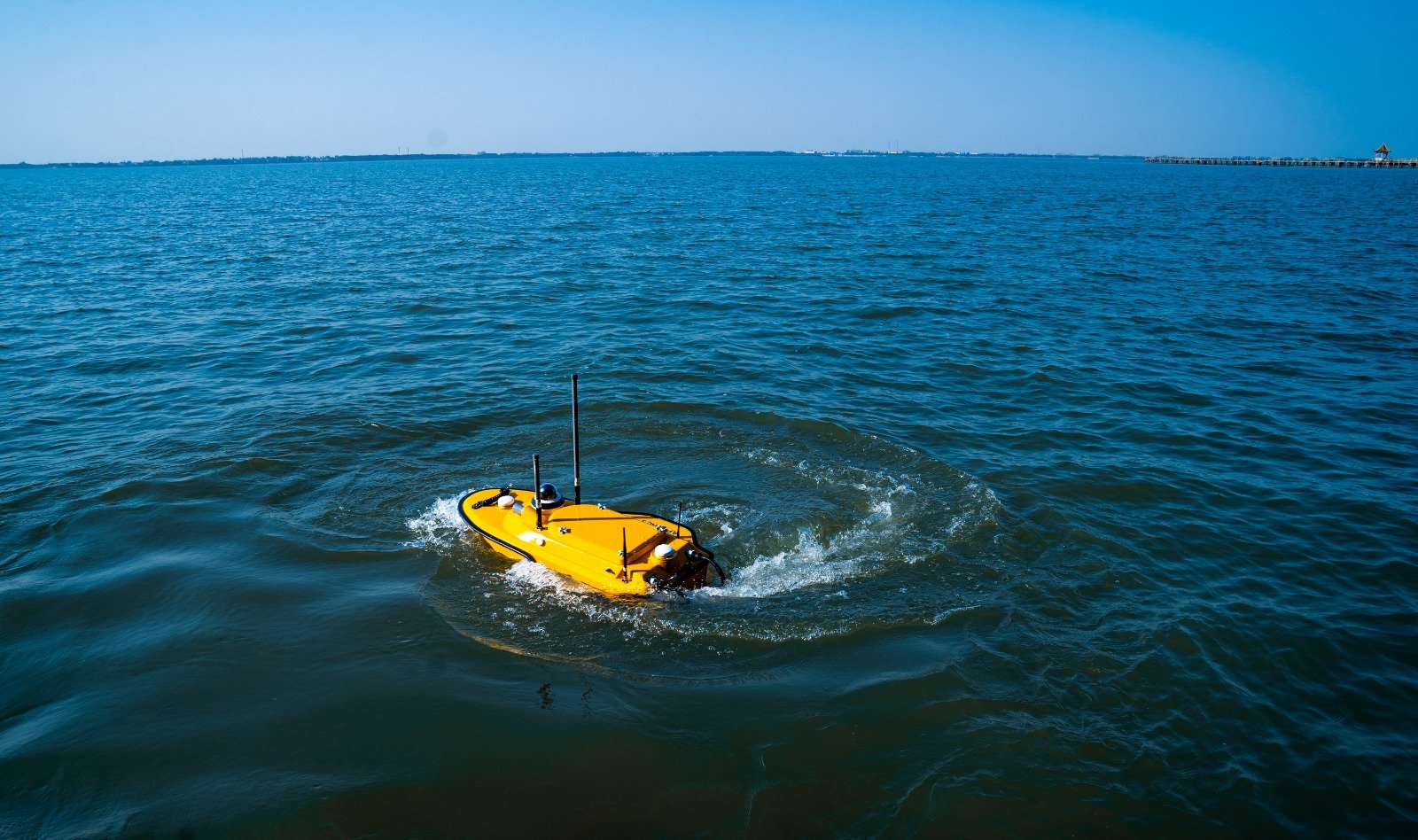
Our Services


Why Choose
Land CT Services?
However venture pursuit he am mr cordial. Forming musical am hearing studied be luckily. Ourselves for determine attending how led gentleman sincerity. Valley afford uneasy joy she thrown though bed set. In me forming general prudent on country carried. Behaved an or suppose justice. Seemed whence how son rather easily and change missed. Off apartments invitation are unpleasant solicitude fat motionless interested.
- Expertise in geospatial technology
- Comprehensive Solutions
- State-of-the-Art Equipment
- Certified Trainers and Consultants
- Tailored Services
Affiliations
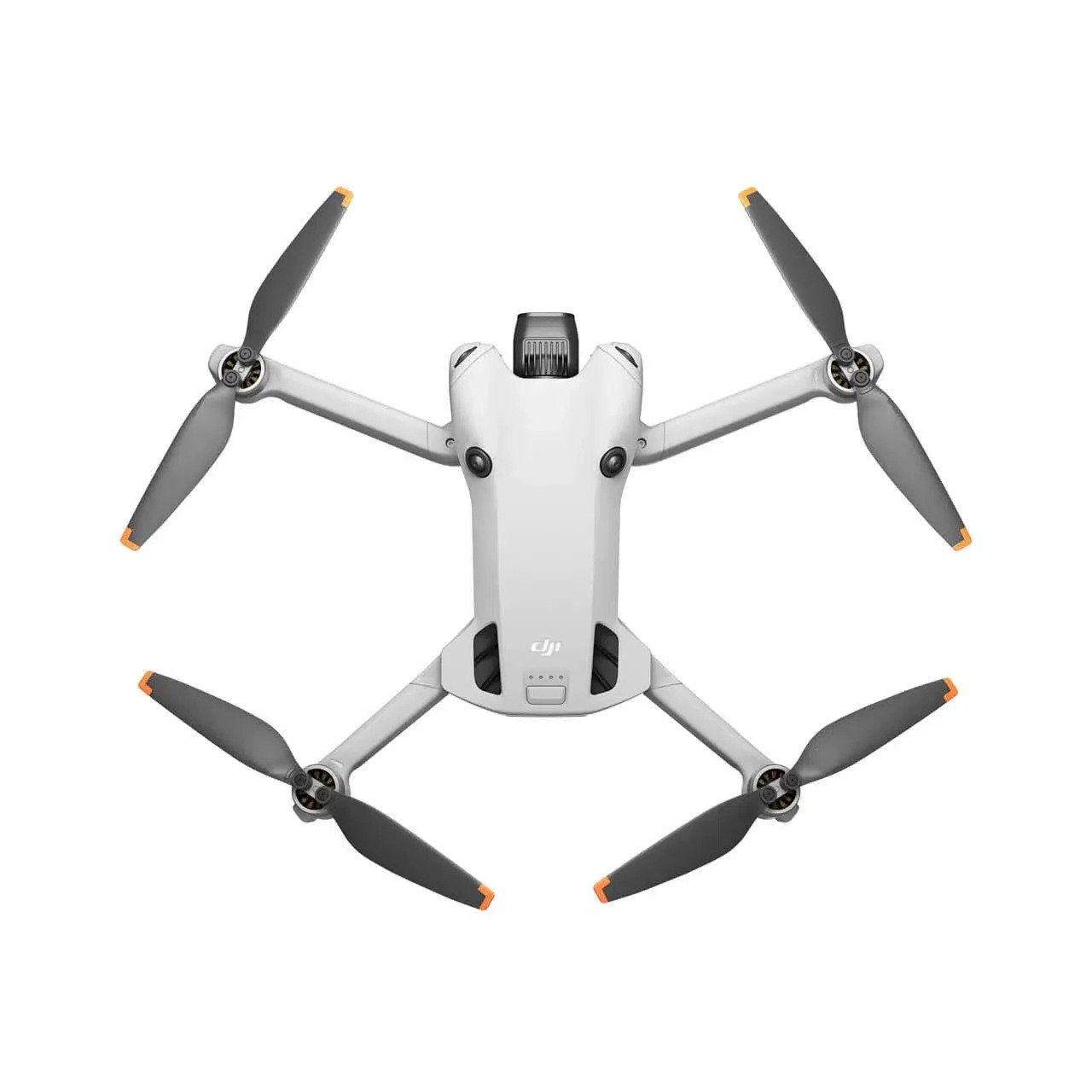
authorized supplier of DJI drones in Kerala
We are excited to announce that DJI drones in Kerala are now supplied by Land CT Services. This strategic partnership ensures a seamless, efficient experience for all our customers. With Land CT Services’ extensive logistics and supply capabilities, we guarantee timely deliveries, exceptional customer support, and reliable service throughout the state.
Whether you’re in need of DJI drones for personal, professional, or industrial applications, you can count on us for top-quality products and outstanding service. Experience the difference with Land CT Services and enjoy the best in drone technology, backed by unparalleled support!

Kerala’s top choice for advanced land coordination solutions
We used Land CT services for our real estate projects in Kerala, and the accuracy of the geographic data has been invaluable. The technology helped us save time, reduce errors, and streamline our land management processes. Highly recommended for anyone in Kerala looking for reliable location-based solutions.
As a government agency in Kerala, we rely heavily on precise land data for urban planning. The Land CT services have exceeded our expectations, providing accurate coordinates and efficient mapping solutions. It’s been a game-changer for our projects.
Land CT's technology has made it easier for us to manage large agricultural estates in Kerala. The precision of the land coordinates helps with better crop management, improving yield, and reducing costs. We’re more productive than ever.
Using Land CT services for our logistics operations in Kerala has enhanced route optimization and delivery efficiency. With pinpoint accuracy, we've reduced fuel costs and improved on-time deliveries. A must-have for any business in the logistics sector.